News
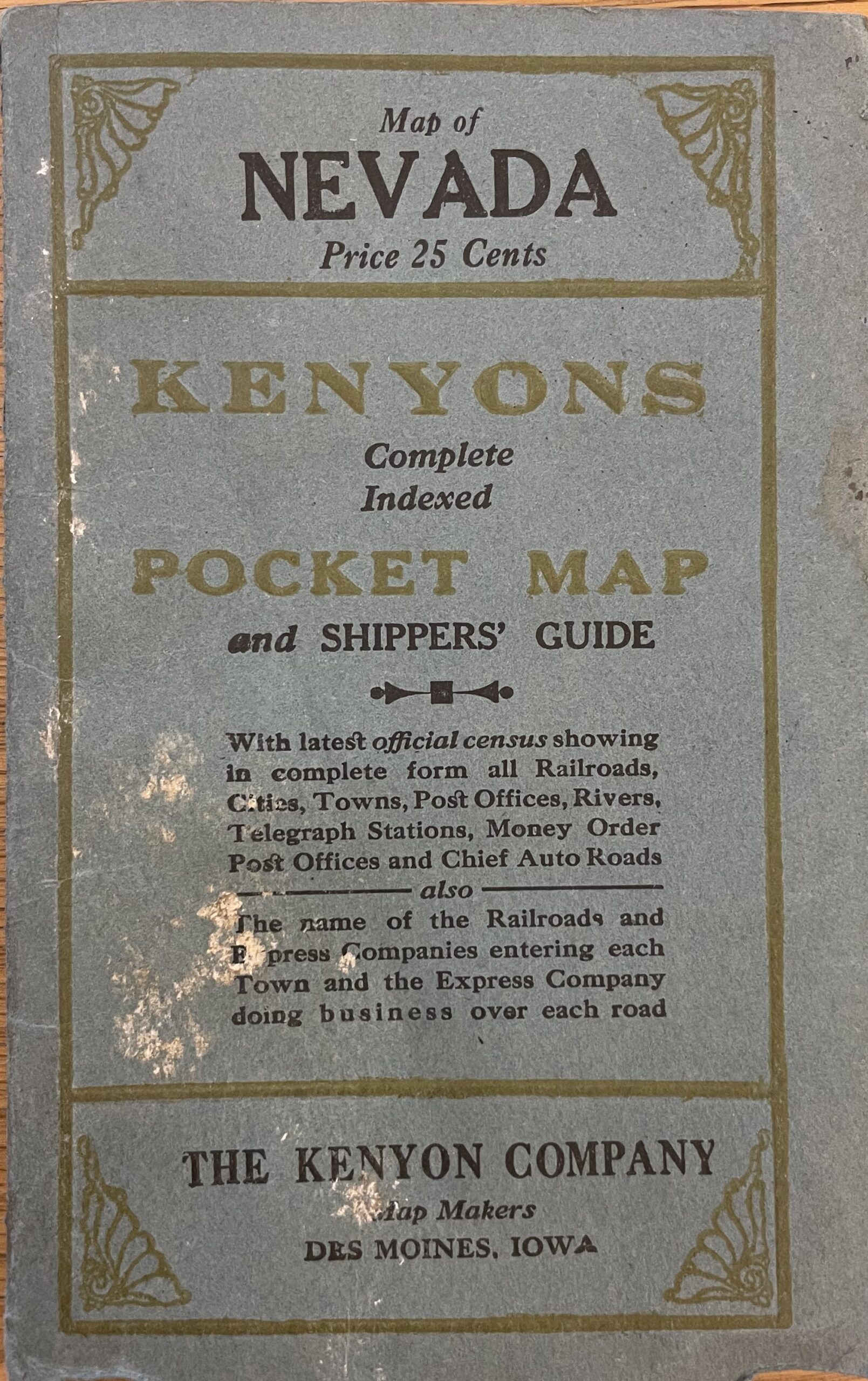
1919 Kenyon’s Pocket Map of Nevada
1919 Kenyon’s Pocket Map of Nevada
Welcome to #MapMonday where we highlight one of the fascinating maps from our collection.
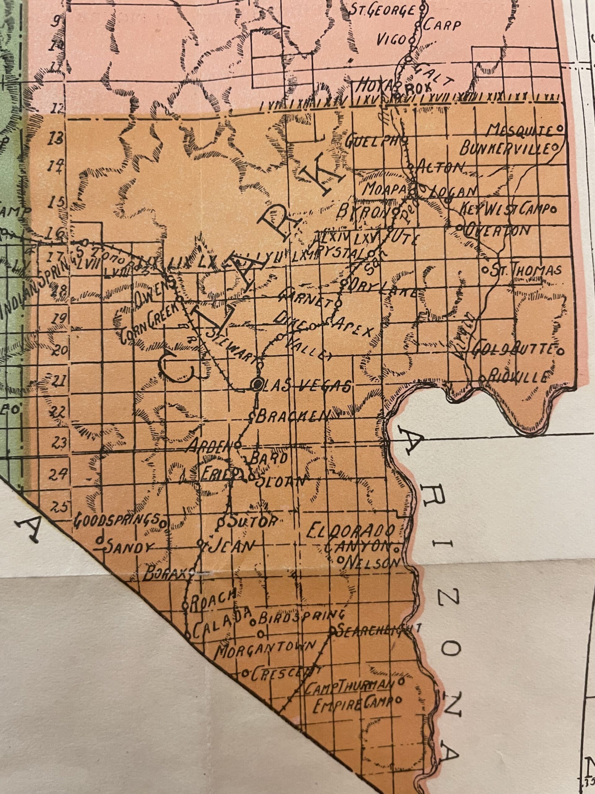
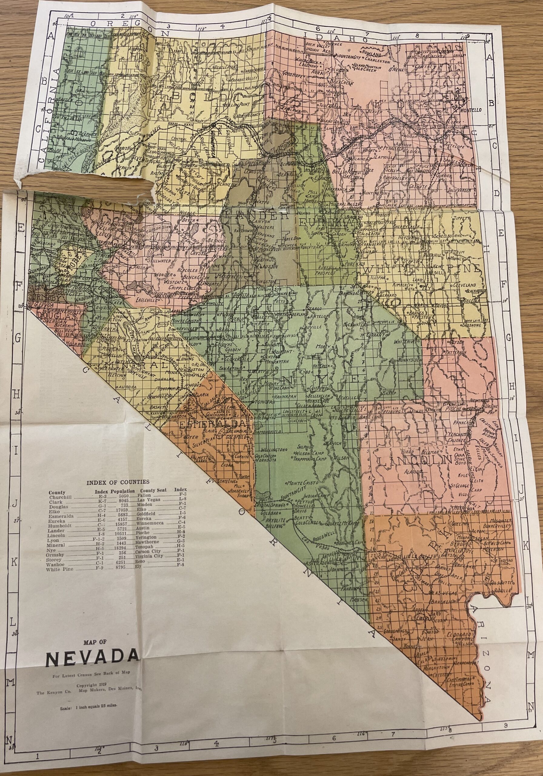
Although a little tattered, this 1919 Kenyon’s Pocket Map of Nevada illustrates the way the state has changed. If you look at Clark County, you will see the town of St. Thomas which was flooded when the construction of Boulder Dam (now Hoover Dam) created Lake Mead. There are also other towns that are not recognized today, such as Arden, Bracken and Stewart.
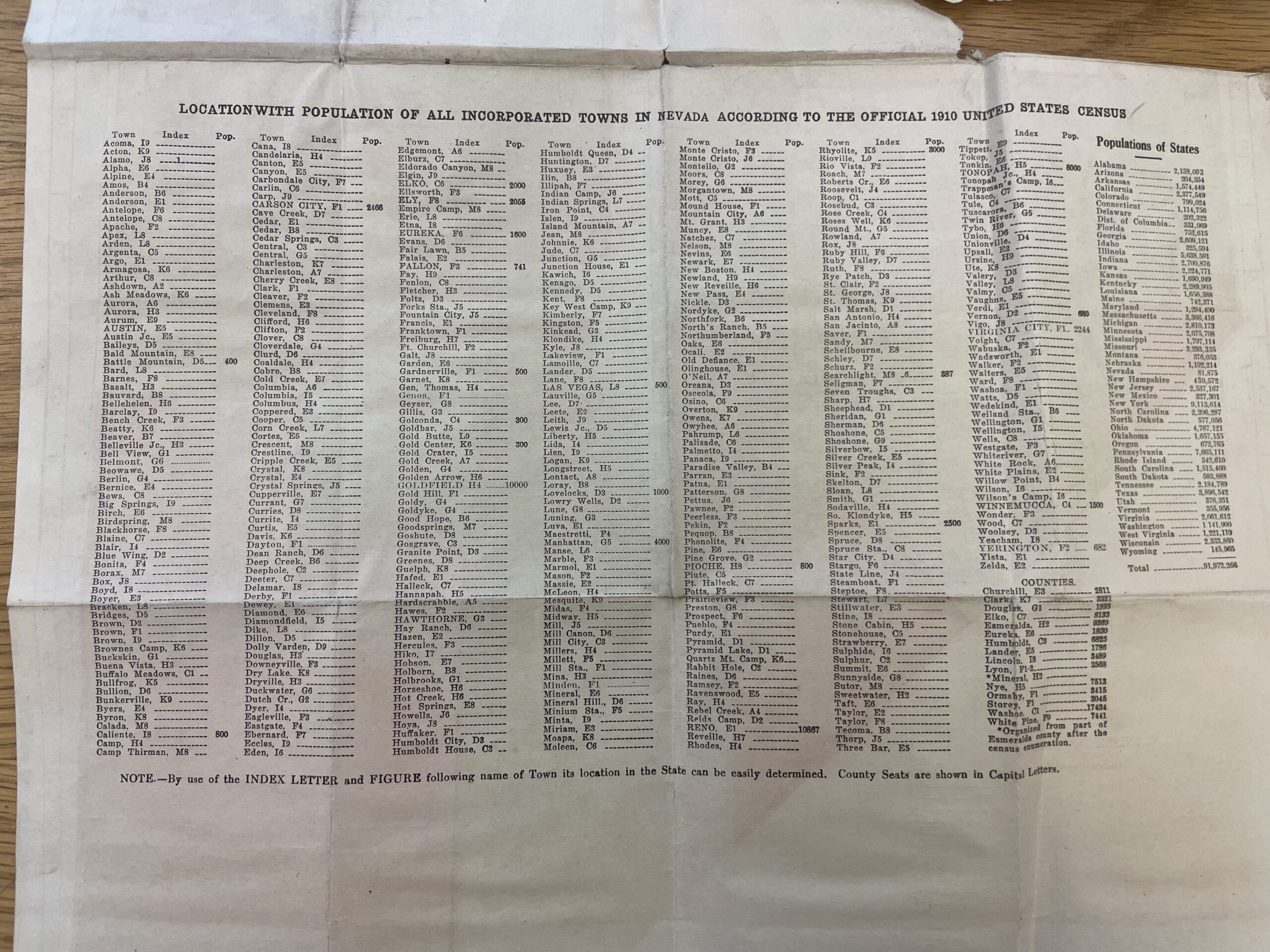
The back of the map has population information from the 1910 census. Las Vegas is listed as having 500 people, Reno 10,867 people, and Goldfield 10,000 people. And Nevada had just 82,000 people compared to the 3 million who live here today.
This map is from our James Johns and Flaxie Mines Collection, MS186
Click on the images for larger versions.


